


GPS Navigation App Development Company
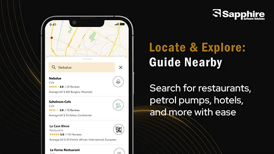
A city map and free business listings are available on Akwaba. Our city information is consistently accurate with Advanced Location-based App. With advertisements, points of interest, restaurants, hotels, malls, parking, featured locations, metro routes, tourist attractions, and much more, Akwaba offers an interactive map of the Ivory Coast. There are two versions of Akwaaba: mobile and web.


Challenges in Geofencing Location Based Services
For us, the real challenge was to get data on the GPS-based applications maps like the metro, tourist places, parking lots, restaurant details, mall details, bank details, hospital details, etc. Building a map application that thousands of visitors visit daily was difficult for our team. The client asked for an app for iOS and Android that would let users find out a variety of facts about any location. They planned to create an app that users could use to chart routes in unfamiliar regions, track their jogging, get alerts about sales, and even identify local places of interest and share them with friends. They wanted us to create an all-in-one application where businesses can also create their listings and target the people who are using the map.
Solutions
Our team came up with a map application where data is stored in a local database and displayed from there in case of an offline map.
We set the tile server using OpenStreetMap(switchtosm)
We set up the server, and using gis data, we set up everything on the map.
Using the gis database query, we got all details from our local database.
Visitors can filter out routes by using the filters and add stops between the routes.
gives customers useful details about the locations they are visiting
Identify the height or distance above sea level
Principal Features of Geolocation apps
Search places
Users can search places and add POI easily without spending money on a guide.
Find places of attraction
Users can easily find tourist places, parking lots, restaurants, etc. if they are new to the place.
Share photos
The app allows users to share photos with friends, which eventually increases brand awareness

Ads
A business owner can increase their sales by advertising their business on this app by running ads.
Place history
This location function can be helpful to an app user if they need to return to the same spot in the near future.
Geofence
Users can define regional borders around areas of particular interest to them using the Geofence function.
Our Premium Services
As a certified IT company, Sapphire helps organizations thrive digitally by offering innovative solutions using cutting-edge tools and frameworks. Contact us to learn more!


Success Stories
Know Sapphire journey from concept to success. Explore how we've brought ideas to life and achieved remarkable results for our clients.

Cab Booking Application Development
Case Study

Property Finder App Development

Map App Development
Years Experience
5-Star Clutch Reviews
Satisfied Clients
Want to start Projects
Get EstimationBest Web Development Company

Unveiling Our Innovative Solution
From cutting-edge technology to revolutionary concepts, get ready to be inspired and intrigued. This is more than just a video - it's a glimpse into the future of innovation.

Navigate effortlessly with Waymark Maps, offering comprehensive guides for travel and exploration.

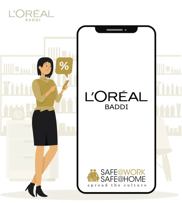
Explore trends, essential products, and expert tips with BEAUTYBEE. Enhance your beauty routine effortlessly.
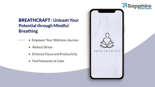
Improve mental clarity, reduce stress, and boost well-being with BREATHCRAFT's mindful breathing techniques.
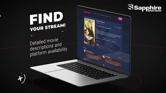
Stream movies and TV shows in high quality with CINESTREAM for a seamless entertainment experience.
Enhance safety and efficiency with Sapphire Software Solutions, experts in SharePoint app development for MNCs.
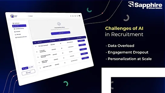
Revolutionizing Recruitment with AI/ML-Driven - Top AI Development Company in USA
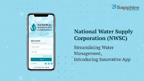
National Water Supply Corporation : Ensure reliable water supply with National Water Supply Corporation, providing efficient and sustainable water solutions.
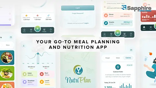
NutriPlan: Your Ultimate Meal Planning and Nutrition Guide - NutriPlan helps individuals make informed dietary choices, track daily food intake, and achieve health goals.
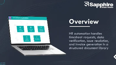
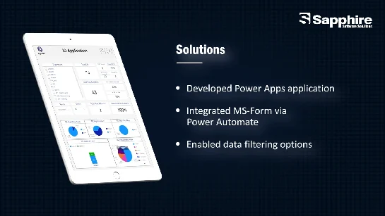
Terraform Timesheet App with Microsoft PowerApps & SharePoint - Best SharePoint Development Company
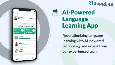
AI-Powered Language Learning App Development Services
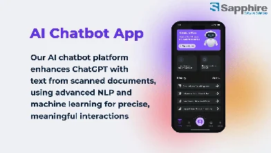
Revolutionize Your Business with Sapphire Software Solutions: Top AI Chatbot Development Services
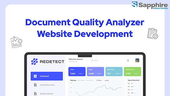
AI-Powered Document Quality Analyzer Website Development Services
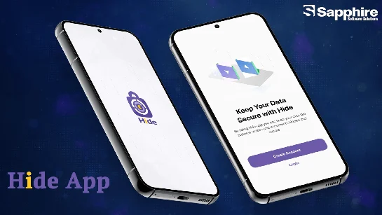
Best Mobile App Development Company for Hide Apps in USA
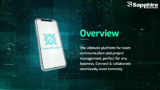
Innovative Team Communication App Development by USA’s Top IT Company
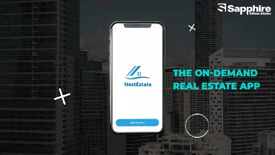
Leading Real Estate App Development Company in the USA | Sapphire Software
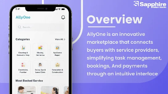
Leading Home Service App Development Experts in the USA
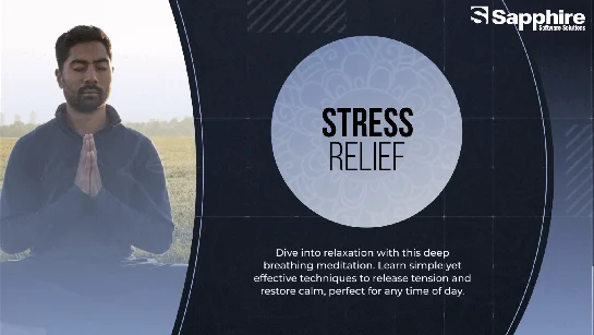
Leading Stress Management App Development Company in USA | Sapphire Software Solutions
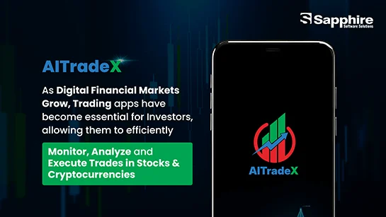
Leading Trading App Development Company | Sapphire Software Solutions

Top React JS Development Company | Sapphire Software Solutions
Top AI Avatar Generator App Development Company
Navigate effortlessly with Waymark Maps, offering comprehensive guides for travel and exploration.
Explore trends, essential products, and expert tips with BEAUTYBEE. Enhance your beauty routine effortlessly.
Improve mental clarity, reduce stress, and boost well-being with BREATHCRAFT's mindful breathing techniques.
Stream movies and TV shows in high quality with CINESTREAM for a seamless entertainment experience.
Enhance safety and efficiency with Sapphire Software Solutions, experts in SharePoint app development for MNCs.
Revolutionizing Recruitment with AI/ML-Driven - Top AI Development Company in USA
National Water Supply Corporation : Ensure reliable water supply with National Water Supply Corporation, providing efficient and sustainable water solutions.
NutriPlan: Your Ultimate Meal Planning and Nutrition Guide - NutriPlan helps individuals make informed dietary choices, track daily food intake, and achieve health goals.
Terraform Timesheet App with Microsoft PowerApps & SharePoint - Best SharePoint Development Company
AI-Powered Language Learning App Development Services
Revolutionize Your Business with Sapphire Software Solutions: Top AI Chatbot Development Services
AI-Powered Document Quality Analyzer Website Development Services
Best Mobile App Development Company for Hide Apps in USA
Innovative Team Communication App Development by USA’s Top IT Company
Leading Real Estate App Development Company in the USA | Sapphire Software
Leading Home Service App Development Experts in the USA
Leading Stress Management App Development Company in USA | Sapphire Software Solutions
Leading Trading App Development Company | Sapphire Software Solutions
Top React JS Development Company | Sapphire Software Solutions
Top AI Avatar Generator App Development Company
Success Matrix
We offer comprehensive services to develop digital solutions & manage complete product lifecycle. We’ve robust work history with diverse business services.
SEO and Digital Marketing
4 months + Free Post Launch Support
Non-Disclosure
100% value for the money
Professional coding and version controls
Flexible payment plans
Real-time project tracking tools
Custom Tailored support | AMC Plans
Quality Asssurance and Unit Test Case
Penalty enforce- ment in case of Delivery Delay
In-dept analysis of revenue business Models
Mind Maps and video demos
About Us
Sapphire delivers cutting-edge digital solutions that drive our clients to achieve unparalleled success

Years
of Experience

5-Star
Clutch Reviews

Fortunes 500
Companies

IT
Professional

Client
Retention

Industry
Served

Satisfied
Clients

Completed
Projects
Our Story, Their Words
From satisfied clients to enthusiastic users, each testimonial shares a unique perspective on the impact and value of our solution. Get inspired as you listen to authentic voices that showcase the true essence of our project's impact.

From Idea to Reality | Client's Success Story with Sapphire - Best Mobile App Development Company
From Vision to Wellness | Client's Success Story with Sapphire - Top Mobile App Development Company

Hear out Tim got to say about working with Team Sapphire on building a complex and unique web application.
Testimonial from client who has expanded their business using Sapphire Services

Hear what Pravin has got to say about working with Sapphire Software Solutions
Sapphire Successfully Delivered Web & Mobile App Solutions - Leading IT Company in Canada
Sapphire Software Solutions - Top iOS App Development Company in USA!
Peer into Satisfaction: Christina's Testimonial Video Shines Bright!

From Vision to Education | Client's Success Story with Sapphire Solutions
Discover why Andrew trusted Sapphire Software Solutions with his mobile digital diary project : A Client’s Honest Experience.

From Vision to Healthcare Innovation | Client Success With Sapphire - Top IT Company in Brazil
From Idea to Reality | Client's Success Story with Sapphire - Best Mobile App Development Company
From Vision to Wellness | Client's Success Story with Sapphire - Top Mobile App Development Company
Hear out Tim got to say about working with Team Sapphire on building a complex and unique web application.
Testimonial from client who has expanded their business using Sapphire Services
Hear what Pravin has got to say about working with Sapphire Software Solutions
Sapphire Successfully Delivered Web & Mobile App Solutions - Leading IT Company in Canada
Sapphire Software Solutions - Top iOS App Development Company in USA!
Peer into Satisfaction: Christina's Testimonial Video Shines Bright!
From Vision to Education | Client's Success Story with Sapphire Solutions
Discover why Andrew trusted Sapphire Software Solutions with his mobile digital diary project : A Client’s Honest Experience.
From Vision to Healthcare Innovation | Client Success With Sapphire - Top IT Company in Brazil
Digital Transformation Through Innovation and Collective Knowledge
At Sapphire, we have a dedicated development team to deliver IT services and create solutions that surpass expectations.

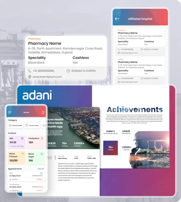
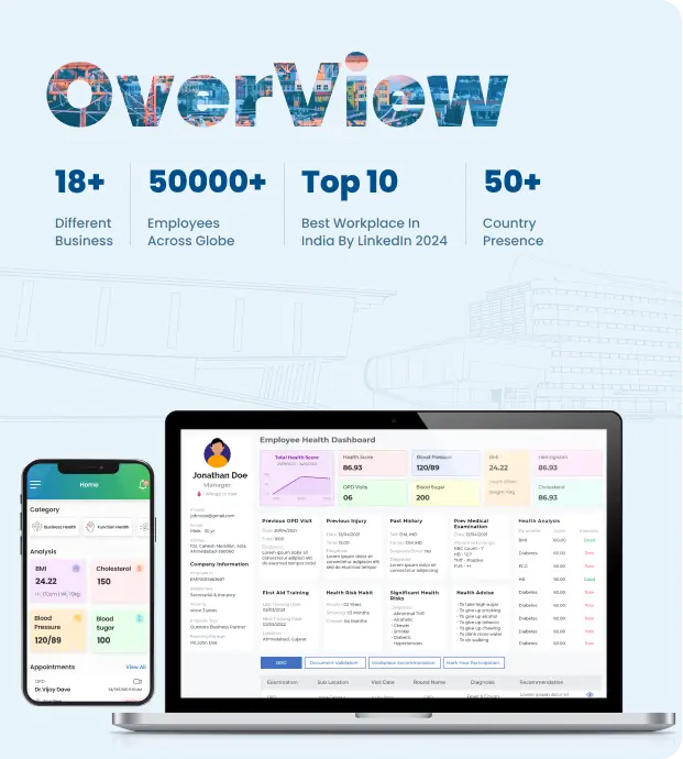
Adani EmCare is a Web + Mobile App used by Adani Group’s medical officer to capture, analyze and manage the health data of the employees and workers. And this data is used by medical officer to provide the preventive healthcare to the employees.
- 98% Employee satisfaction ratio
- 91% reduction in appointment scheduling time
- 24/7 real-time health monitoring
- Serving over 60,000 healthcare professionals
- Generating over USD 30 billion in revenue

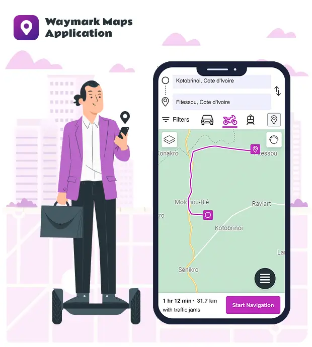
A city map and free business listings are available on Waymark. Our city information is consistently accurate and current. With advertisements, points of interest, restaurants, hotels, malls, parking, featured locations, metro routes, tourist attractions, and much more, Waymark offers an interactive map of the Ivory Coast. There are two versions of Waymark: mobile and web.
- Turn-by-turn voice navigation
- Points of interest (POI) recommendations
- Real-time traffic updates and route optimization
- Offline map access for remote areas
- Augmented reality (AR) navigation features

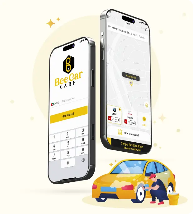
If you provide car washing services and need to reach a wide range of customers, the car wash app is your best bet. Sapphire Software Solutions has built a car wash application that allows people to book car wash services in few clicks
- 96% customer retention rate
- 92 % increase in service bookings
- Over 1,10,000 satisfied users
- Operating in 90+ locations
- User-friendly & Efficient interface for easy booking

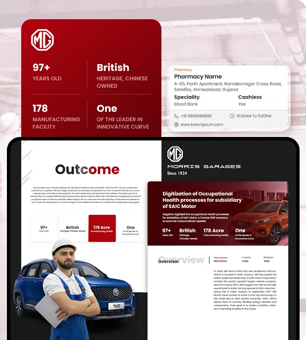
Larsen & Toubro Limited is one of India's largest and most well-known private corporations. L&T offers unrivaled capabilities across Technology, Engineering, Construction, and Manufacturing, and retains leadership in all of its primary lines of business, almost 80 years of a strong, customer-focused strategy and a never-ending search for world-class quality. The Hazira campus produce extra-large and very heavy equipment for power projects, chemical, refinery, petrochemical, and fertilizer sectors, which may be shipped abroad by waterways.The Modular Production Facility (MFF) at Hazira, one of the largest of its kind in South Asia, can produce many large modules at once and has a fabrication capacity of 50,000 MT per year.
- Automated safety audits and inspections
- 24/7 access to safety training resources
- Customizable dashboards and reporting tools
- Real-time incident reporting and tracking
- 99% compliance with health and safety regulations

MG Motor is a well-known firm that have large number of employee. It is their major responsibility to keep track of employees' health and records. The system from their end was to have one secure locker for the protection of all the papers in order to keep track of employee Examination and OPD records for audit purpose.
- Real-time health data analytics
- HIPAA-compliant data security
- 24/7 access to health resources and support
- Personalized health recommendations
- 98% improvement in employee health monitoring

This safety improvement application collects the observations from the organizational Staff and non-staff, and the respective department head will take care of the closure observation, and some observation categories will be verified by the top management.
- 97% reduction in safety incidents
- Scalable solution for large enterprises
- Recognized for excellence in safety innovation
- Automated safety reminders and alerts
- Real-time hazard identification and reporting
Adani EmCare is a Web + Mobile App used by Adani Group’s medical officer to capture, analyze and manage the health data of the employees and workers. And this data is used by medical officer to provide the preventive healthcare to the employees.
- 98% Employee satisfaction ratio
- 91% reduction in appointment scheduling time
- 24/7 real-time health monitoring
- Serving over 60,000 healthcare professionals
- Generating over USD 30 billion in revenue
A city map and free business listings are available on Waymark. Our city information is consistently accurate and current. With advertisements, points of interest, restaurants, hotels, malls, parking, featured locations, metro routes, tourist attractions, and much more, Waymark offers an interactive map of the Ivory Coast. There are two versions of Waymark: mobile and web.
- Turn-by-turn voice navigation
- Points of interest (POI) recommendations
- Real-time traffic updates and route optimization
- Offline map access for remote areas
- Augmented reality (AR) navigation features
If you provide car washing services and need to reach a wide range of customers, the car wash app is your best bet. Sapphire Software Solutions has built a car wash application that allows people to book car wash services in few clicks
- 96% customer retention rate
- 92 % increase in service bookings
- Over 1,10,000 satisfied users
- Operating in 90+ locations
- User-friendly & Efficient interface for easy booking
Larsen & Toubro Limited is one of India's largest and most well-known private corporations. L&T offers unrivaled capabilities across Technology, Engineering, Construction, and Manufacturing, and retains leadership in all of its primary lines of business, almost 80 years of a strong, customer-focused strategy and a never-ending search for world-class quality. The Hazira campus produce extra-large and very heavy equipment for power projects, chemical, refinery, petrochemical, and fertilizer sectors, which may be shipped abroad by waterways.The Modular Production Facility (MFF) at Hazira, one of the largest of its kind in South Asia, can produce many large modules at once and has a fabrication capacity of 50,000 MT per year.
- Automated safety audits and inspections
- 24/7 access to safety training resources
- Customizable dashboards and reporting tools
- Real-time incident reporting and tracking
- 99% compliance with health and safety regulations
MG Motor is a well-known firm that have large number of employee. It is their major responsibility to keep track of employees' health and records. The system from their end was to have one secure locker for the protection of all the papers in order to keep track of employee Examination and OPD records for audit purpose.
- Real-time health data analytics
- HIPAA-compliant data security
- 24/7 access to health resources and support
- Personalized health recommendations
- 98% improvement in employee health monitoring
This safety improvement application collects the observations from the organizational Staff and non-staff, and the respective department head will take care of the closure observation, and some observation categories will be verified by the top management.
- 97% reduction in safety incidents
- Scalable solution for large enterprises
- Recognized for excellence in safety innovation
- Automated safety reminders and alerts
- Real-time hazard identification and reporting
What Our Clients Say
They were always willing to make sure that we were satisfied with the final product, which was outstanding.
Sapphire Software Solutions' support enabled the company to build a solution that automates their workflows. The team was prompt, communicative, and helpful in fulfilling deadlines and keeping everything on track. Above all, their willingness to deliver satisfying outputs was notable.

Marios C.
Limassol, Cyprus
5.0

The team is very professional and friendly.
Thanks to Sapphire Software Solutions, we have launched the app and my customers are happy with the tool. currently, we have continuous work with Sapphire team to build new features and improve the product with their innovative ideas. Sapphire is responsive to queries, and we are pleased with the quality of their work.

Tim
New Hampshire
5.0
The time and effort the Sapphire Software Solutions team put into my project was phenomenal!
Sapphire Software Solutions uploaded the app successfully to the app stores. The team was highly responsive, delivered on time, and communicated effectively through Skype. Moreover, they adapted to the client's working style and overcame complex technical challenges with a quick turnaround.

Christina Wälchli
Germany
5.0
The technical support team was very responsive.
Sapphire Software Solutions delivered the software in a timely manner. The team was responsive to requests and feedback and implemented changes. The client was impressed with Sapphire Software Solutions' willingness to take on challenges presented during the engagement.

AMR ELATTAR
Saudi Arabia
4.5
I was impressed by their ability to communicate effectively.
Sapphire Software Solutions delivered a user-friendly application that looked great. The client received positive feedback from users during the app's testing phase. The team had the technical skills to build a complex app and communicated effectively with the client, delivering work on time.

Nick
Australia
5.0
Their mobile app skills, helpfulness, and overall problem-solving blew me away.
Sapphire Software Solutions created a platform that the client was happy with. They were easy to talk to, responsive, and attentive to the client's needs. They also provided a result-oriented approach that was helpful and highly knowledgeable.

Vid Randjelovic
Phuket, Thailand
5.0
They were excellent at finding the right level of detail in implementation and critical thinking to give good advice.
Sapphire Software Solutions impressed the client with the quality of their deliverables. They provided excellent designs, achieved the client's goals in unique ways, and prioritized the website's accessibility. The client also commended the vendor's high-quality and easy-to-follow codes.

Smit Shah
Parkland, Florida
5.0
The team's spirit is nice, and I've found the team cooperative at each step of the project.
While the project is ongoing, the results thus far have met the expectations of the internal team. Sapphire Software Solutions has been prepared to accommodate requests and changes in the project development. They've been prompt, clever, and collaborative throughout the workflow.

Hesham Abdelfattah
London, United Kingdom
5.0
Sapphire delivered flawlessly what we envisioned. We were astonished by their work.
The product was delivered within budget and timeframe. Sapphire Software Solutions was able to work around the client's budget limitations. Their team provided excellent customer service and greater product development.

Hamendra Shah
Kenya
5.0
We really appreciate the time and energy that go into developing our website.
The team continuous to exhibit development and collaborative skills that allow them to create end products that exceed their client's expectations. They exert ample time and energy to make sure that they provide high-quality service within a reliable timeframe.

Ellwood G. Ivey Jr.
Georgia
5.0
They were able to add resources and specialties when applicable.
Sapphire Software Solutions quickly developed the website and met the client's target timeline. The team also met the client's budget and quality requirements. Their resources were communicative throughout the entire project, and they successfully fixed every issue that arose during the engagement.

Travis Wilhelmsen
Idaho
5.0
They are very professional, respectful, competent, and approachable.
The client was highly pleased with Sapphire Software Solutions' development work. The team met most of the interface design requirements and remained receptive to all change requests. They were transparent, courteous, and keen on surpassing the client's expectations.

Christine Ine
Rockville, Maryland
4.5
Sapphire Software Solutions' team communicated effectively and promptly.
Sapphire Software Solutions successfully implemented all UX and design features on the app. The team has consistently delivered on time, provided daily updates on the project's progress, and communicated smoothly through virtual meetings, emails, and messages. Their turnaround time is impressive.

Derrick Surratt
Arkansas
5.0
They're able to listen to customer requests and attend to urgent matters.
Sapphire Software Solutions' updates improved a product's UX per the end customer's requests. The team is personable, reaches their milestones on time, and is responsive through virtual meetings, emails, and messages. Moreover, their listening skills and quick response to urgent tasks stand out.

Hamidah Nalwoga
Massachusetts
5.0
Our communication was very smooth, and the deliverables were done on time.
The client is happy with Sapphire Software Solutions. The team has met all expectations in terms of website design and feature development. They've also completed work on time without any issues. Moreover, they manage the project well by providing daily updates. Overall, the engagement is a success.

Lino Barahona
Portugal
5.0
They were always able to deliver the results on time and ensured excellent communication.
Sapphire Software Solutions drastically improved the client's platform and single-handedly developed all of the planned features in a timely manner. They also ensured excellent project management and updated the client on a daily basis. Their understanding approach was a key element of their work.

Julius John
Tanzania
5.0
They were always willing to make sure that we were satisfied with the final product, which was outstanding.
Sapphire Software Solutions' support enabled the company to build a solution that automates their workflows. The team was prompt, communicative, and helpful in fulfilling deadlines and keeping everything on track. Above all, their willingness to deliver satisfying outputs was notable.
Marios C.
Limassol, Cyprus
5.0
The team is very professional and friendly.
Thanks to Sapphire Software Solutions, we have launched the app and my customers are happy with the tool. currently, we have continuous work with Sapphire team to build new features and improve the product with their innovative ideas. Sapphire is responsive to queries, and we are pleased with the quality of their work.
Tim
New Hampshire
5.0
The time and effort the Sapphire Software Solutions team put into my project was phenomenal!
Sapphire Software Solutions uploaded the app successfully to the app stores. The team was highly responsive, delivered on time, and communicated effectively through Skype. Moreover, they adapted to the client's working style and overcame complex technical challenges with a quick turnaround.
Christina Wälchli
Germany
5.0
The technical support team was very responsive.
Sapphire Software Solutions delivered the software in a timely manner. The team was responsive to requests and feedback and implemented changes. The client was impressed with Sapphire Software Solutions' willingness to take on challenges presented during the engagement.
AMR ELATTAR
Saudi Arabia
4.5
I was impressed by their ability to communicate effectively.
Sapphire Software Solutions delivered a user-friendly application that looked great. The client received positive feedback from users during the app's testing phase. The team had the technical skills to build a complex app and communicated effectively with the client, delivering work on time.
Nick
Australia
5.0
Their mobile app skills, helpfulness, and overall problem-solving blew me away.
Sapphire Software Solutions created a platform that the client was happy with. They were easy to talk to, responsive, and attentive to the client's needs. They also provided a result-oriented approach that was helpful and highly knowledgeable.
Vid Randjelovic
Phuket, Thailand
5.0
They were excellent at finding the right level of detail in implementation and critical thinking to give good advice.
Sapphire Software Solutions impressed the client with the quality of their deliverables. They provided excellent designs, achieved the client's goals in unique ways, and prioritized the website's accessibility. The client also commended the vendor's high-quality and easy-to-follow codes.
Smit Shah
Parkland, Florida
5.0
The team's spirit is nice, and I've found the team cooperative at each step of the project.
While the project is ongoing, the results thus far have met the expectations of the internal team. Sapphire Software Solutions has been prepared to accommodate requests and changes in the project development. They've been prompt, clever, and collaborative throughout the workflow.
Hesham Abdelfattah
London, United Kingdom
5.0
Sapphire delivered flawlessly what we envisioned. We were astonished by their work.
The product was delivered within budget and timeframe. Sapphire Software Solutions was able to work around the client's budget limitations. Their team provided excellent customer service and greater product development.
Hamendra Shah
Kenya
5.0
We really appreciate the time and energy that go into developing our website.
The team continuous to exhibit development and collaborative skills that allow them to create end products that exceed their client's expectations. They exert ample time and energy to make sure that they provide high-quality service within a reliable timeframe.
Ellwood G. Ivey Jr.
Georgia
5.0
They were able to add resources and specialties when applicable.
Sapphire Software Solutions quickly developed the website and met the client's target timeline. The team also met the client's budget and quality requirements. Their resources were communicative throughout the entire project, and they successfully fixed every issue that arose during the engagement.
Travis Wilhelmsen
Idaho
5.0
They are very professional, respectful, competent, and approachable.
The client was highly pleased with Sapphire Software Solutions' development work. The team met most of the interface design requirements and remained receptive to all change requests. They were transparent, courteous, and keen on surpassing the client's expectations.
Christine Ine
Rockville, Maryland
4.5
Sapphire Software Solutions' team communicated effectively and promptly.
Sapphire Software Solutions successfully implemented all UX and design features on the app. The team has consistently delivered on time, provided daily updates on the project's progress, and communicated smoothly through virtual meetings, emails, and messages. Their turnaround time is impressive.
Derrick Surratt
Arkansas
5.0
They're able to listen to customer requests and attend to urgent matters.
Sapphire Software Solutions' updates improved a product's UX per the end customer's requests. The team is personable, reaches their milestones on time, and is responsive through virtual meetings, emails, and messages. Moreover, their listening skills and quick response to urgent tasks stand out.
Hamidah Nalwoga
Massachusetts
5.0
Our communication was very smooth, and the deliverables were done on time.
The client is happy with Sapphire Software Solutions. The team has met all expectations in terms of website design and feature development. They've also completed work on time without any issues. Moreover, they manage the project well by providing daily updates. Overall, the engagement is a success.
Lino Barahona
Portugal
5.0
They were always able to deliver the results on time and ensured excellent communication.
Sapphire Software Solutions drastically improved the client's platform and single-handedly developed all of the planned features in a timely manner. They also ensured excellent project management and updated the client on a daily basis. Their understanding approach was a key element of their work.
Julius John
Tanzania
5.0
Technology Stack
We employ cutting-edge technologies and tools to make sure your applications are built on the latest technology. Have a look at our tech stack

Frameworks
- PHP - Laravel

Front End
- Android
- Bootstrap
- JQuery
- iOS - Swift
- Kotlin

Database
- MS-SQL

Deployment
- AWS
- Play Store
- Apple Store

Testing
- Selenium
- Test Rail
- Apache JMeter
- BrowserStack
- Postman
- OWASP ZAP

Architecture
- MVC
- MVVM
Process We Follow

Requirement Gathering
01Focus would be on documentation first for clarity and better understanding from both sides and come to the same page.

Designs, Wireframes, & Mockups
02We help our clients to create an interactive and wonder to watch UI designs that describes user-friendly flow of web/app/platform.

Prototype Demo
03After finalizing and designs approval, we freeze the scope and help our client with demo or prototype to have a look and feel of the app/web/platform.

Changes And Confirmation
04Clients can feel free to add and mention the required changes as per expectations they need in the existing platform. We'll proceed with client's confirmation on the same.

SEO
08We are open to help our clients for promoting their businesses/products with providing complimentary SEO services, providing them a help hand to market their product/business.

Support And Maintenance
07We provide free service and support as per decided terms in our agreement. We also provide packages further monthly or yearly based on your requirement

Deployment
06We are open to help our clients with final testing, UAT, training, and final deployment of the source code, and launching in client's platform.

Development
05With client approval, we start the development with the technologies best suited for you, and deliver you results in the timeframe as committed by our technical team.
Requirement Gathering
01Focus would be on documentation first for clarity and better understanding from both sides and come to the same page.
Designs, Wireframes, & Mockups
02We help our clients to create an interactive and wonder to watch UI designs that describes user-friendly flow of web/app/platform.
Prototype Demo
03After finalizing and designs approval, we freeze the scope and help our client with demo or prototype to have a look and feel of the app/web/platform.
Changes And Confirmation
04Clients can feel free to add and mention the required changes as per expectations they need in the existing platform. We'll proceed with client's confirmation on the same.
Development
05With client approval, we start the development with the technologies best suited for you, and deliver you results in the timeframe as committed by our technical team.
Deployment
06We are open to help our clients with final testing, UAT, training, and final deployment of the source code, and launching in client's platform.
Support And Maintenance
07We provide free service and support as per decided terms in our agreement. We also provide packages further monthly or yearly based on your requirement
SEO
08We are open to help our clients for promoting their businesses/products with providing complimentary SEO services, providing them a help hand to market their product/business.
Frequently Asked Questions
We listen to query and provide solutions that captivate users. Feel free to contact us in case of any query which is not mention below.
Years of Experience
5-Star Clutch Reviews
Fortunes 500 Companies
IT Professional
Client Retention
Industry Served
Satisfied Clients
Completed Projects


1. What makes Sapphire Software Solutions a leading GPS navigation app development company?
With 23+ years of IT excellence, 1,500+ projects, and 2,800+ satisfied clients, Sapphire Software Solutions builds advanced GPS navigation apps using AI, real-time mapping, and geolocation intelligence for precise and reliable user experiences.
2. How does Sapphire Software Solutions use AI to improve GPS navigation app performance?
Our team integrates AI-driven route optimization, predictive traffic insights, and personalized navigation features to ensure faster, smarter, and safer journeys for end users.
3. Can Sapphire Software Solutions develop custom GPS navigation apps for specific industries?
Yes. We specialize in building GPS-enabled apps for logistics, ride-sharing, fleet management, travel, real estate, and delivery-based businesses—tailored to your operational goals.
4. Does Sapphire Software Solutions offer offline navigation capabilities in its GPS apps?
Absolutely. We build GPS navigation apps with robust offline maps and caching technology so users can access routes and directions even without an internet connection.
5. How does Sapphire Software Solutions ensure high accuracy in GPS tracking and mapping?
We integrate APIs like Google Maps, Mapbox, and OpenStreetMap with advanced geospatial algorithms, ensuring precise location tracking, route accuracy, and minimal latency.
6. Does Sapphire Software Solutions provide real-time traffic and weather updates in GPS apps?
Definitely. We embed real-time data APIs for traffic congestion, weather alerts, and road closures, helping users plan routes intelligently and avoid delays.
7. Can Sapphire Software Solutions create white-label GPS navigation app solutions?
Yes. We offer fully customizable white-label GPS apps that can be rebranded and deployed quickly, ideal for startups and enterprises looking to enter the navigation market fast.
8. Can Sapphire Software Solutions develop GPS navigation apps for both Android and iOS platforms?
Yes. Our team builds cross-platform GPS navigation apps using Flutter, React Native, and native tech stacks to ensure smooth performance on Android and iOS devices.
9. Can Sapphire Software Solutions create location-based business apps beyond navigation?
Yes. Our expertise extends to geofencing marketing apps, delivery tracking platforms, asset management systems, and on-demand mobility solutions.

Subscribe us and Get the latest updates and news


